
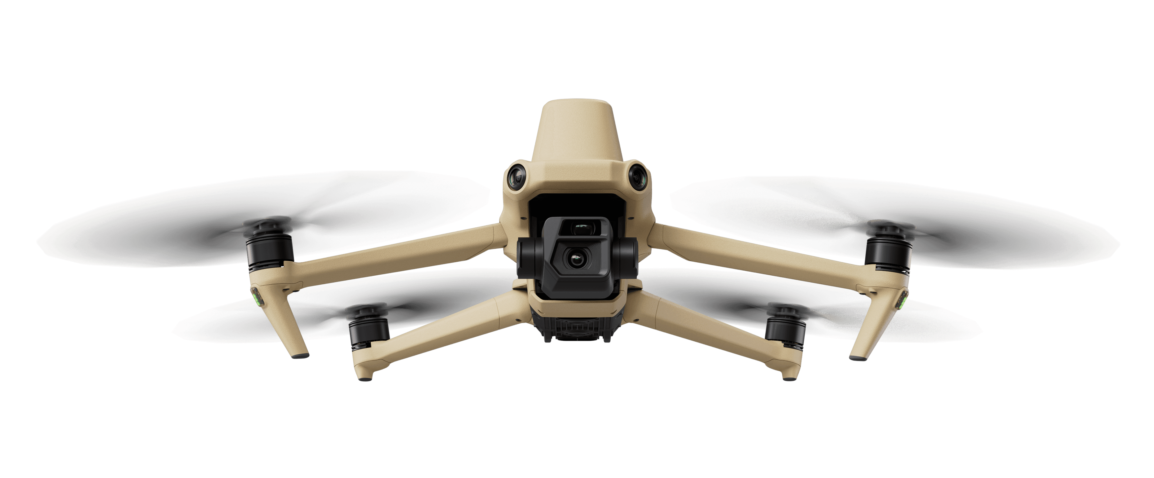
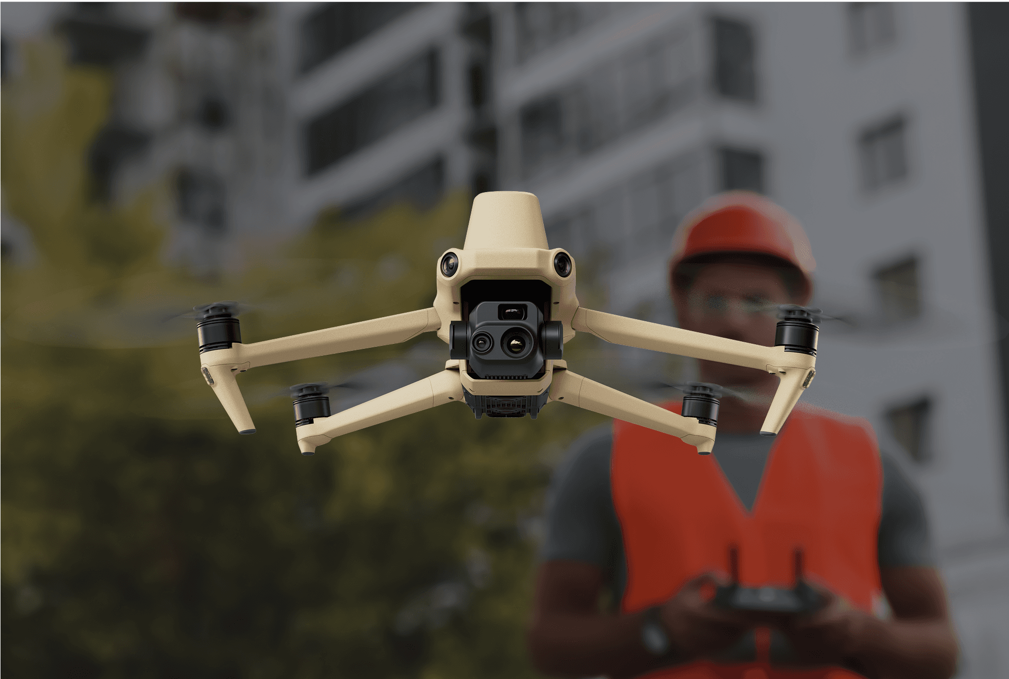
Precision in Every Pixel
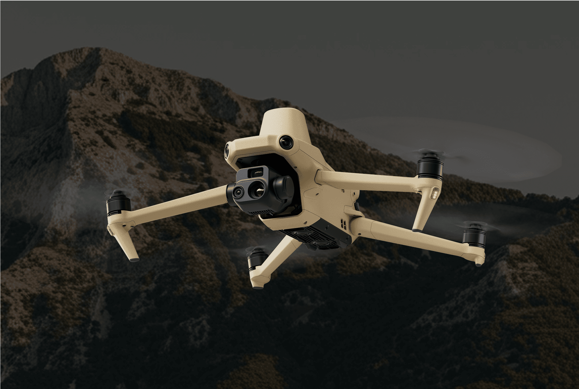


Wide
4/3 CMOS, 20MP, Mechanical Shutter
Tele
Equivalent Focal Length: 162mm, 12MP, 56× Hybrid Zoom

Thermal
DFOV: 61°, Equivalent Focal Length: 40mm, Resolution 640 × 512
Wide
Equivalent Focal Length: 24mm, 48MP
Zoom
Equivalent Focal Length: 162mm, 12MP, 56× Hybrid Zoom

Spatial Hovers advanced wide-angle 4/3 CMOS 20MP sensor features a mechanical shutter to eliminate motion blur and enables rapid 0.7-second interval capture. Execute mapping missions with exceptional speed and accuracy—no Ground Control Points required.
Spatial Hovers Wide camera features large 3.3μm pixels that, combined with an intelligent low-light mode, deliver exceptional performance in dimly lit environments.


Both our E and T model comes equipped with a 12MP Zoom Camera, offering up to 56× Max Hybrid Zoom—making it easy to capture critical details from a distance.
Spatial Hovers thermal camera features a 640 × 512 resolution and supports both point and area temperature measurement. With high-temperature alerts, customizable color palettes, and isotherms, you can quickly locate targets and make informed decisions.


Spatial Hovers thermal and zoom cameras support 28× continuous side-by-side zoom, making it easy to compare visual and thermal data in real time.
Designed to cover up to 2 square kilometers per mission, delivering efficient, extended surveying in a single flight.
Max Flight Time (no wind)
42 Minutes
Max Hovering Time (no wind)
36 Minutes
Max Wind Speed Resistance
12m/s
Surveying Area in a Single Flight
2 Square Kilometers


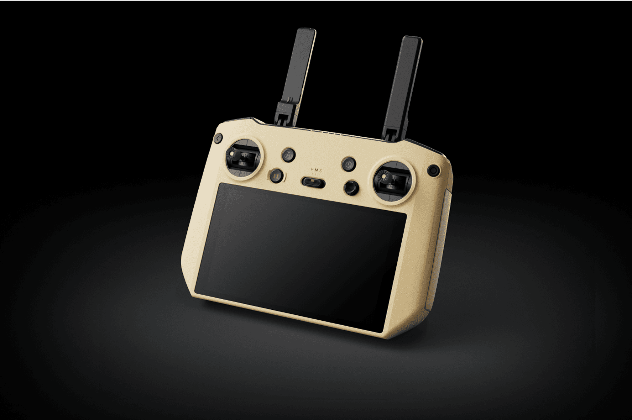
A redesigned Enterprise flight interface built to enhance piloting efficiency and safety.
Access drone and payload controls with a single tap, while a clear display of flight data and navigation details streamlines the user experience. Supports multiple route types for added versatility.
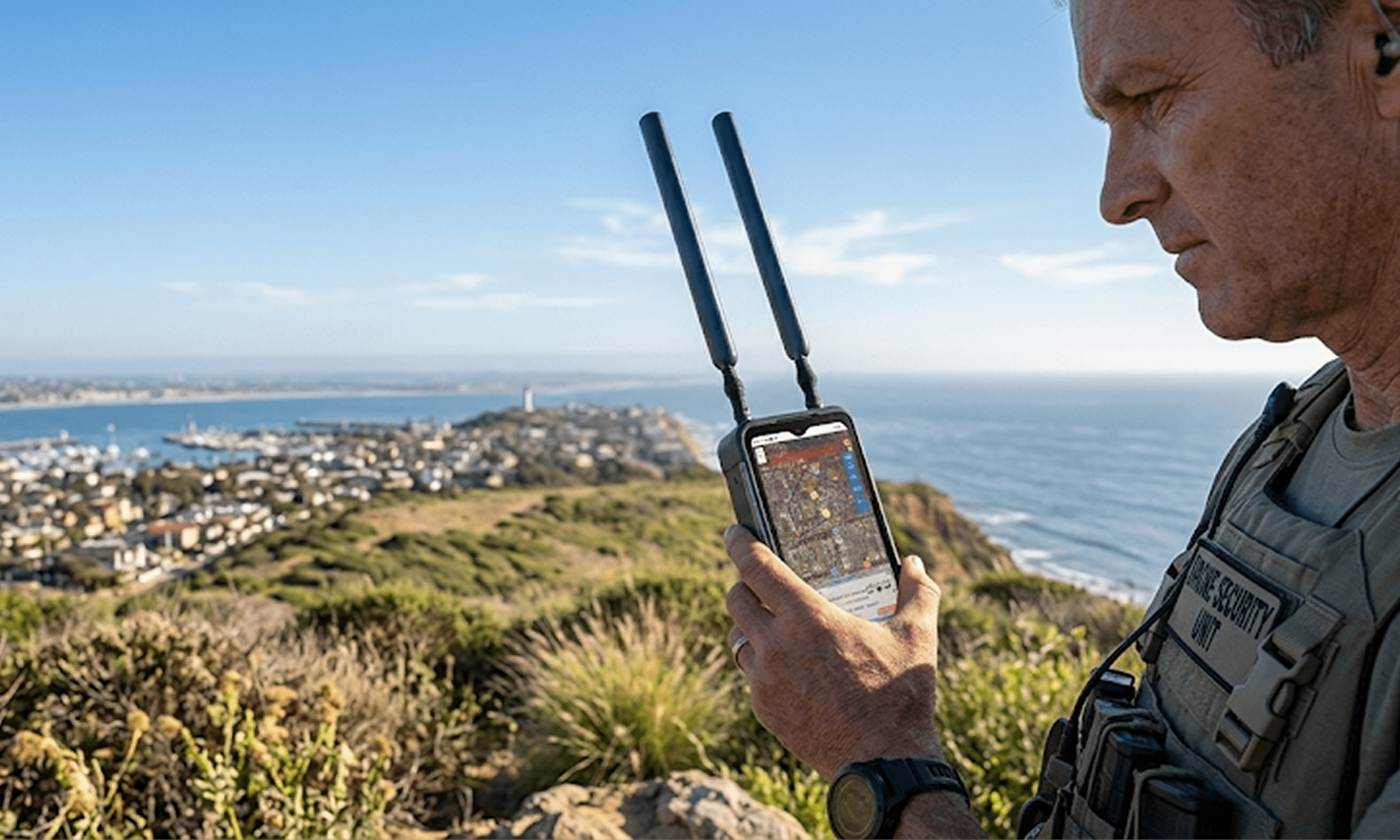
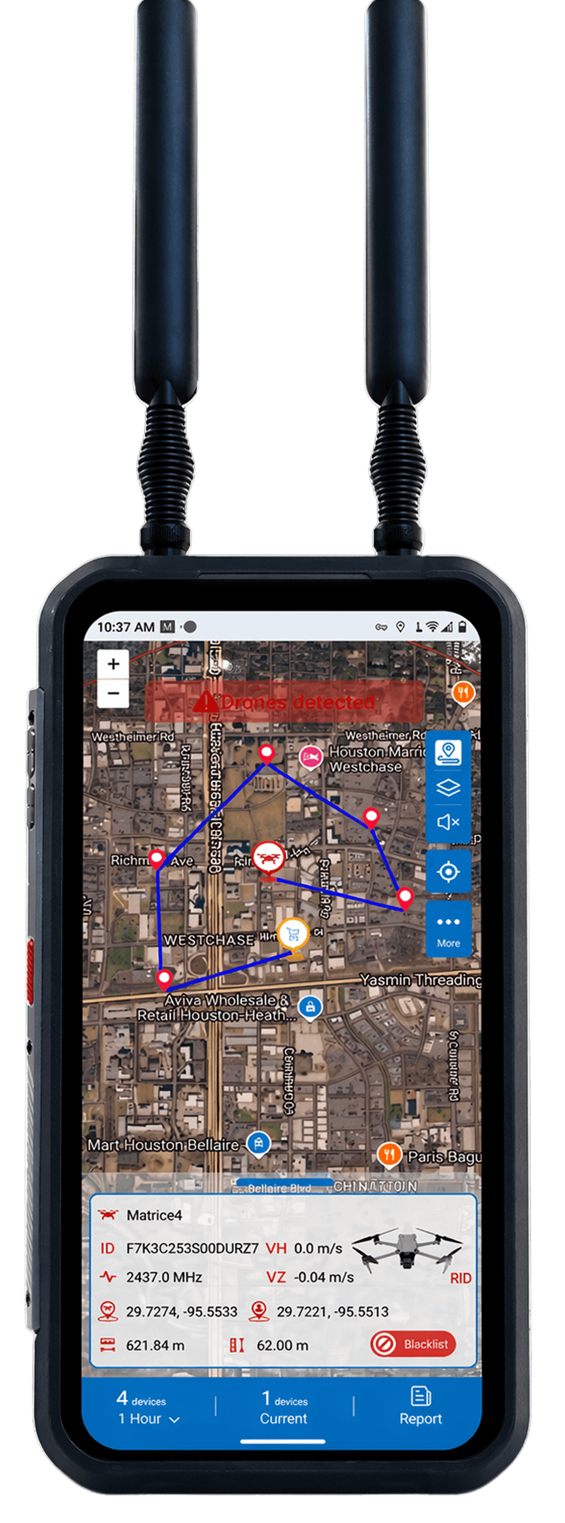
The Long-Endurance Mobile Drone Detection Platform
A fully mobile, multi-protocol UAV detection system built for security teams, event operations, and perimeter defense. Detects 900+ drone models, tracks both aircraft and pilot in real time, and operates all day in the field.
Weighing just 0.65 kg with a 6.3-inch touchscreen and 360° omni-
directional antennas, the D200 Pro delivers command-center intelligence in a one-handed form factor.
3 Miles
360° Detection Range
900+
Drone Models Detected
2.4 / 5.1 / 5.8 GHz
Detection Frequencies
10 Hours
With Tactical Battery
≤3m
Location Accuracy
IP54
Rugged & Weather-Ready

o1 / Pilot Positioning
DJI O1–O4
Autel
Skydio
Remote ID
Live Pilot Location
o2 / Pilot Positioning
Operate handheld for rapid response, mount on a tripod for checkpoint or rooftop coverage, or integrate with a vehicle-mounted antenna for patrol and convoy missions. Multiple units network together and stream data via API to your command center.
Handheld · Tripod · Vehicle
Networked Units
API to C2 Centers
Flight Path Replay
Local Evidence Storage
Have a question or just want to chat? Throw us a line!